Tag: USGS
The Year in Volcanoes at Rosetta Stones
2021 was an excellent year for eruptions that were fascinating to watch and not terribly dangerous to humans! Let’s look back on the eruptions we covered, and see where they are now, and what might be in store for 2022.
Kilauea, United States
Tūtū Pele has celebrated the last couple of New Years with sweet summit eruptions. From late December 2021 through most of May of 2021, we were treated to a spectacular end to the water lake in the crater and entertained by the dancing islands of the new lava lake. Pele took the summer off before abruptly returning on September 29th. She’s been putting on a crater lava show ever since, with just a few breaks, including a pause over Christmas. By the new year, she was back in action and put on a lovely show over the holiday.
Since Pelee’s only taken one year off since the 1980s, I’m expecting this year to include some gorgeous lava action from her current home. And stay tuned to see if she does any remodeling at Mauna Loa!
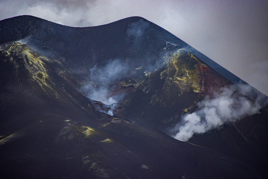
Geldingadalir (Fagradalsfjall), Iceland (more…)
The Blanco Fault Zone Rides Again
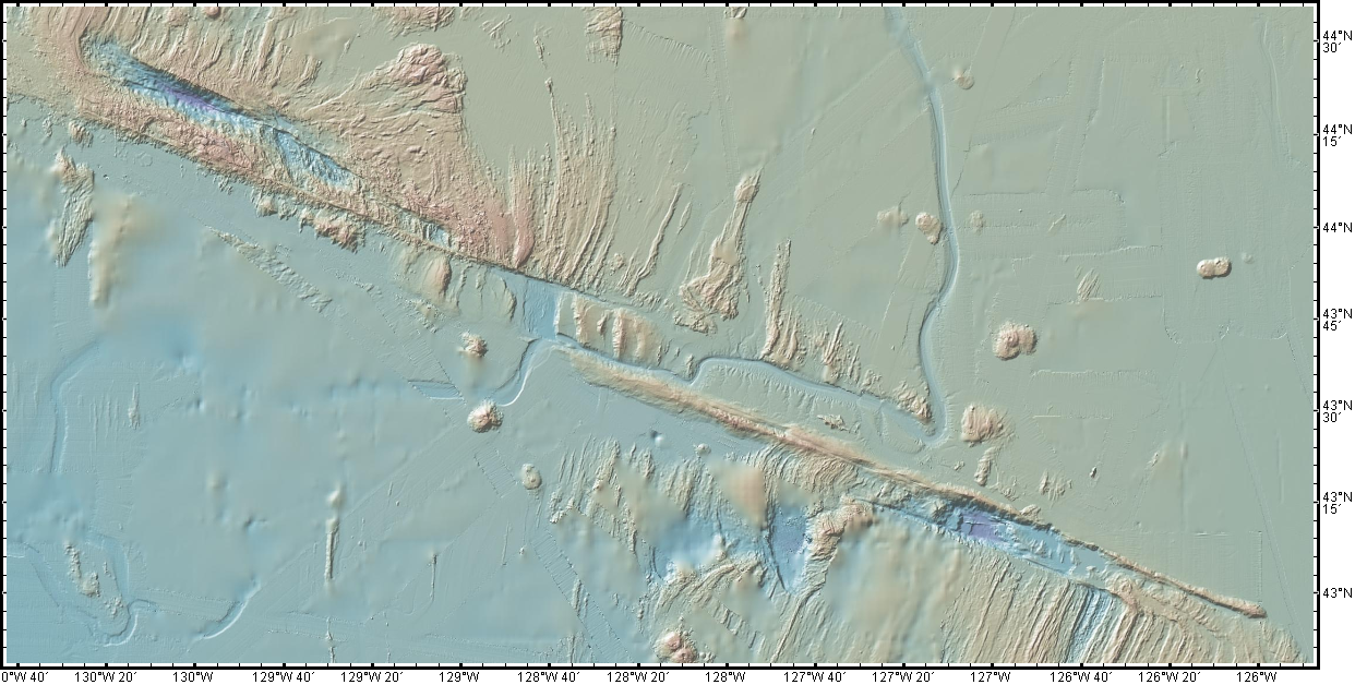
Do we have to do this again so soon? Really? Oh, geez.

Must we really, CNN? Credit: Dana Hunter
I’m not going to link that article, because while it does quote seismologist Harold Tobin up front basically saying nothing to see here, folks, everything’s normal on the Blanco Fault Zone, it also tries to scaremonger. And I’m so over the scaremongering.
Listen. This is the Blanco Fault Zone. Earthquake swarms with many temblors of this magnitude are its specialty. It means absolutely nothing for the mainland. Zip. Zilch. Nada. Read this very good article on Oregon Public Broadcasting, which laid out the facts in beautiful form.
And no, this has utterly nothing to do with submarine volcanoes. No, not even Axial seamount. Dr. Jackie Caplan-Auerbach wrote an entire post explaining how much it’s not that:
There have been a lot of questions about the recent Blanco tranform activity, including whether these are related to volcanic activity in general, and Axial Seamount in specific. The short answer is no, these are definitively not volcanic quakes, but more detail follows.
First, the Blanco Transform fault is the most active fault in the Pacific NW, with very frequent quakes >M5. We can tell that these are normal Blanco faults by their location, by the way they fail (these are strike-slip earthquakes, consistent with the fault’s normal behavior, and happily, the type least likely to generate tsunamis).There is no volcanism associated with transform faults. The nearest frequently active volcano (and the one people most often ask about) is Axial seamount, which is ~300 km from the activity we are seeing on the Blanco this week. This is much too far apart for these features to be associated with one another.
And I swear we all have to do this every dang time.
For anyone who’s been worried that this is the harbinger of something geologically awful in the Pacific Northwest, please be assured that it is not. This is absolutely business as usual on the Blanco Fault Zone. This is what it does. It’s not going to trigger the Cascadia megatsunami. It’s not even going to cause any minor inconveniences to the mainland. Volcanoes aren’t going to be triggered. Literally the only way it’s going to become an issue is if we decide to build a seafloor city right on top of it. Which, knowing humans, someday we will definitely do.
Just a hair over two years ago, my Scientific American article explained why the Blanco should be considered a fun rather than fearsome fault zone. I shall now reproduce that article here, because literally nothing has changed except the date. Please bookmark this to reference whenever someone starts freaking out over the Blanco’s latest antics. It’s all chill, folks. Just enjoy it’s little productions! Because they’re actually entertaining and informative from an earth science perspective, just the way we like our geology. (more…)
41 Years Ago Today, Volcanic Hazards Awareness Expanded With A Boom
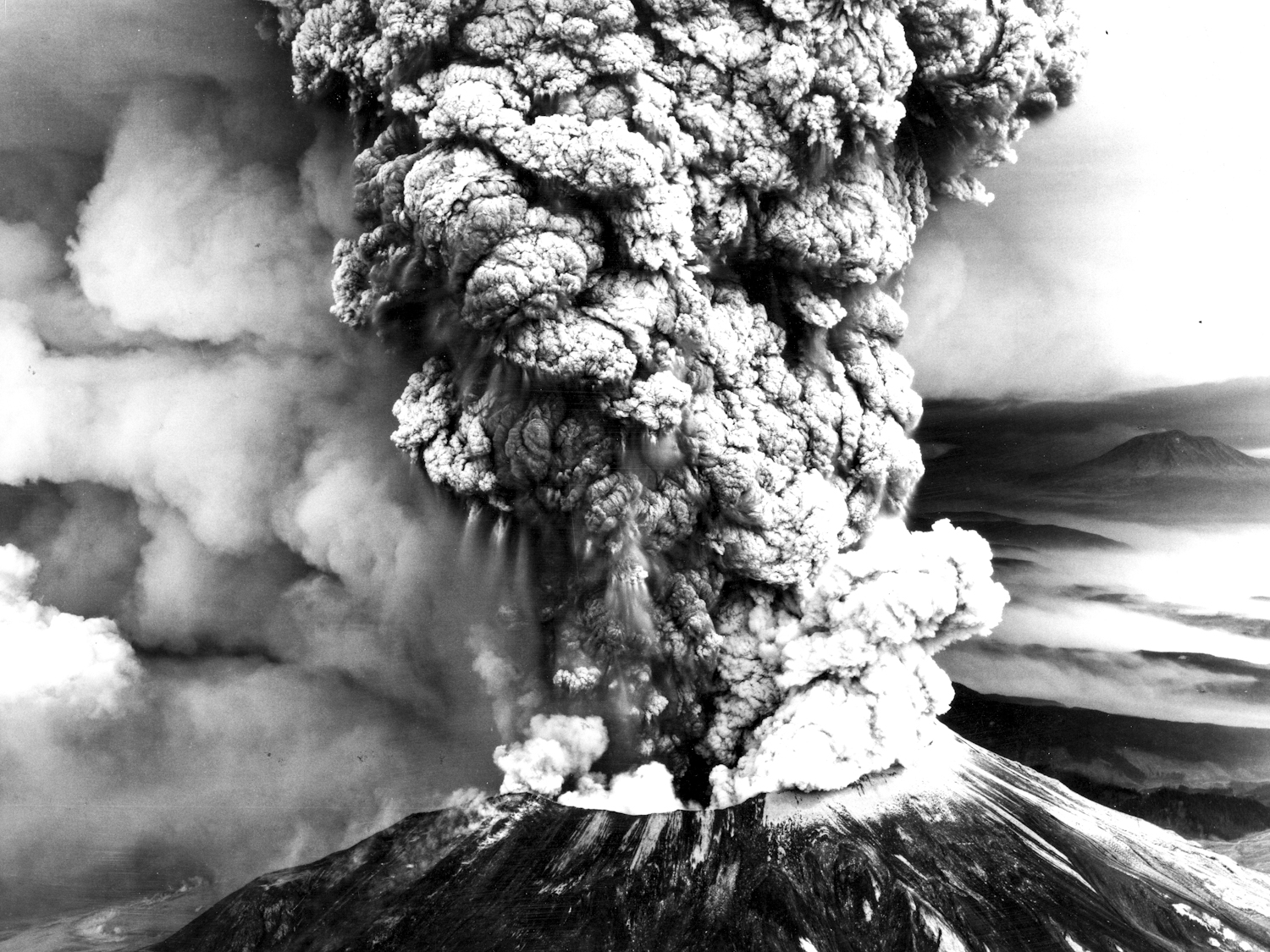
I’m middle-aged now, but back then I wasn’t even in kindergarten yet. That sunny May day, I was inside, glued to a television screen filled with a roiling gray haze of volcanic ash. Mount St. Helens had erupted with spectacular violence after a couple of months of unrest.

Mount St. Helens in eruption on May 18, 1980. Mount Hood, a Cascades sibling, looks on in the background. Credit: USGS
There was only one thing I could do once the shock of it wore off: I promptly grabbed construction paper and crayons and drew the volcano a get well card. She looked like it hurt.
It would be a couple of years before I began to grasp the scope of what had happened, and decades more before I knew how much the 1980 awakening, eruption, and aftermath had advanced the science of volcanology.
Kilauea Erupts! R.I.P. Kilauea Water Lake. Viva the Lava Lake!
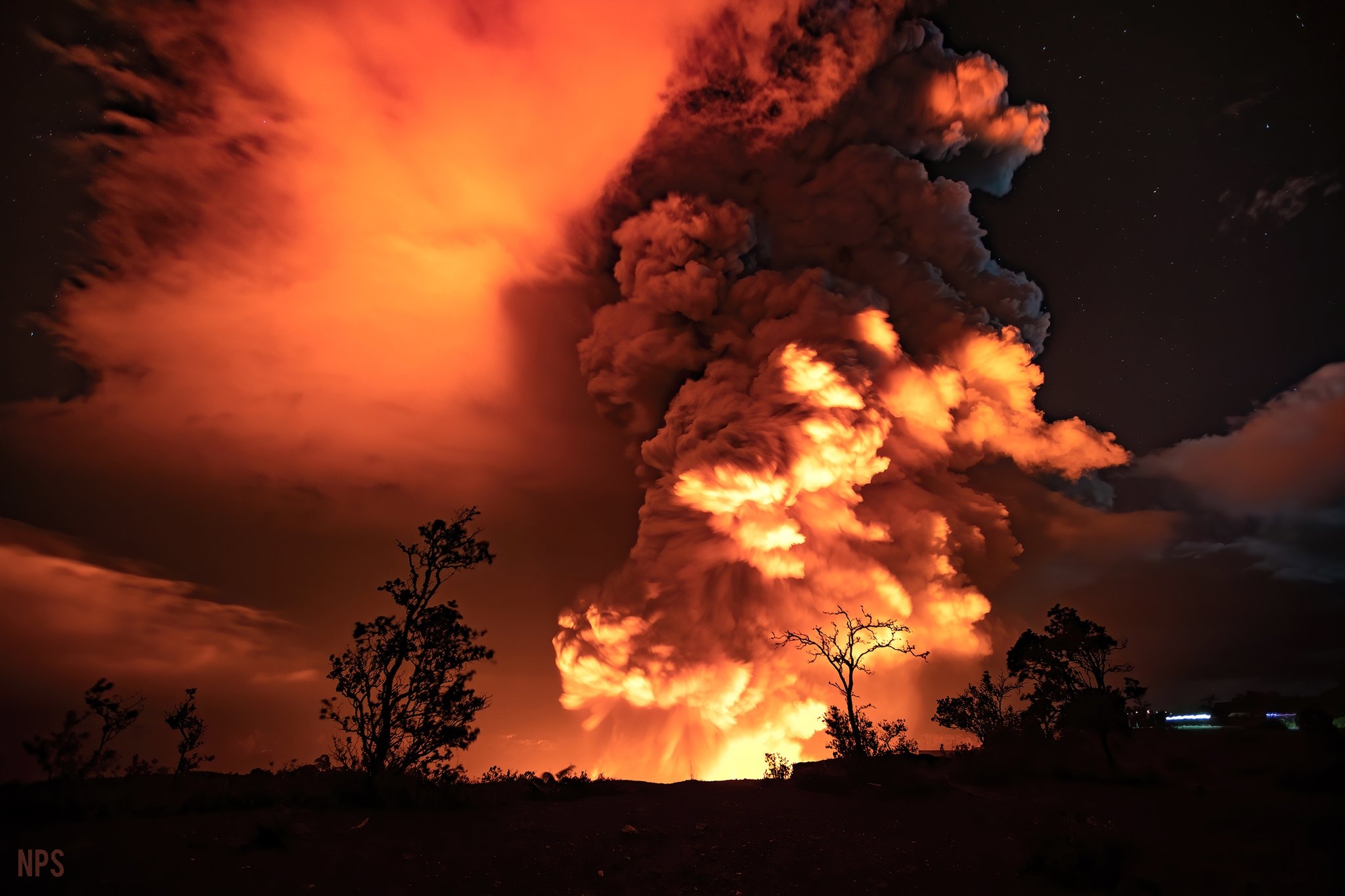
Madam Pele awakened rather abruptly on the night of December 20th, 2020, and decided that water lake in her crater just had to go. Volcano goddesses remodel in a spectacular fashion.

Thermal webcam images show Kilauea’s water lake boiled off by the eruption. Credit: USGS
Lakes are temporary features, geologically speaking. Some lakes are more temporary than others. When a lake makes its home in the crater of an active volcano, its life can be very short indeed. And what takes months or years to create can take only hours to destroy.
Rainbows Over Geology
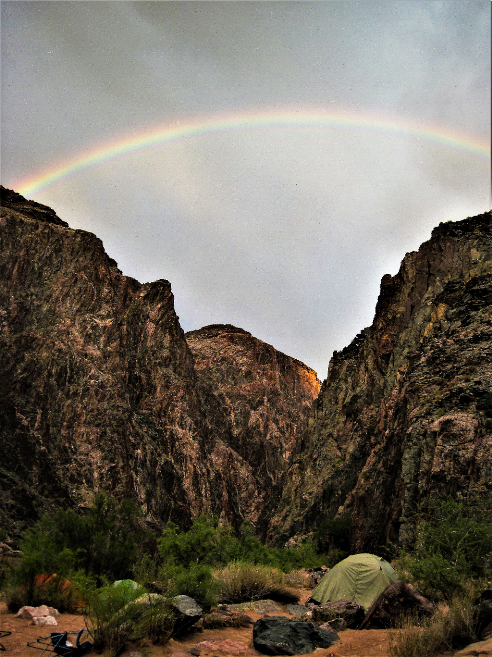
Are you ready for some spectacularly beautiful images? It’s a tough time: of course you need some beauty in your life. Allow me to provide!
In between pandemic lockdown preparations, I’ve been spelunking the USGS website and watching the OG Knight Rider. K.I.T.T. is absolutely marvelous, but not quite as beautiful as some of these images I’m finding. USGS scientists are pretty talented photographers! And while most of the photos they take in the field are for strictly scientific purposes, they also turn their lenses to capture the ephemeral beauty that happens geology and meteorology combine.
I’ve lightly edited these photos to enhance their awesomeness. You can click the link in the titles to see the originals.
Mount St. Helens Montage I
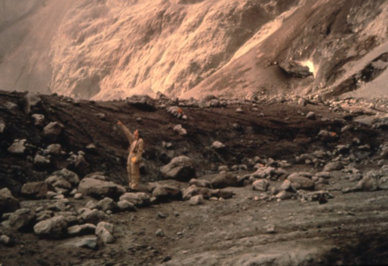
Before other projects intervened, I did a long series of posts on the May 18, 1980 eruption of Mount St. Helens. I’d made it all the way to the blast deposits before my magma chamber collapsed. Part of the problem was not having good photos of said deposits ready to hand. Part of it was plain cowardice. And then a lot of other fascinating stuff happened. So the series, like a Cascades volcano, went dormant.
But dormant volcanoes roar to life again, and so shall The Cataclysm.
Right now, I’m spelunking the USGS ScienceBase Catalog, pulling every single Mount St. Helens photo I can find.
A Hero On Mount St. Helens: Remembering David Johnston
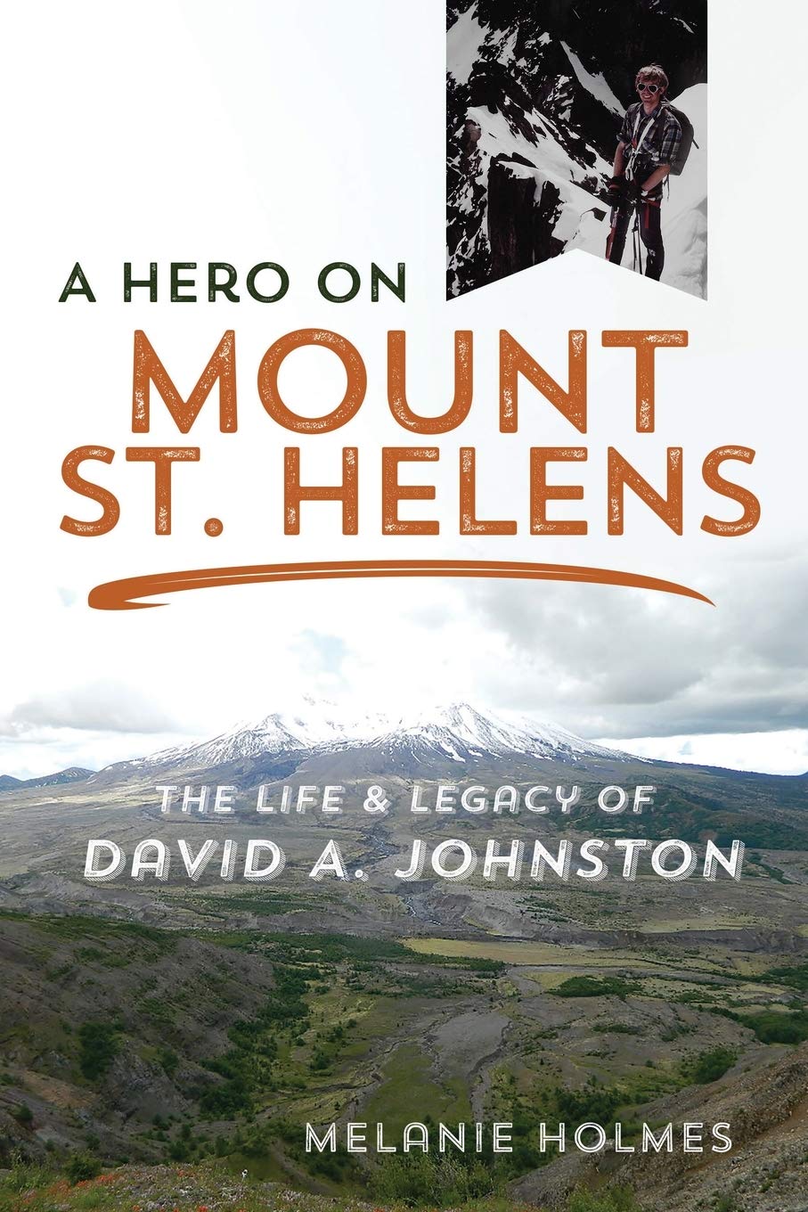
Dr. David A. Johnston is a person I’ve looked up to for most of my life. I first learned about him when I was a child, reading Marian T. Place’s book about the eruption of Mount St. Helens. He watched an active volcano. He warned a lot of people that she was going to violently erupt. He saved countless lives, but lost his own. He became a personal hero of mine, especially as I grew up and learned more about the work he did and the risks he took.
So I was super excited when I saw a whole book was being published about him. I bought a copy as soon as I could. Then…